

 |
| Approximate ward boundaries
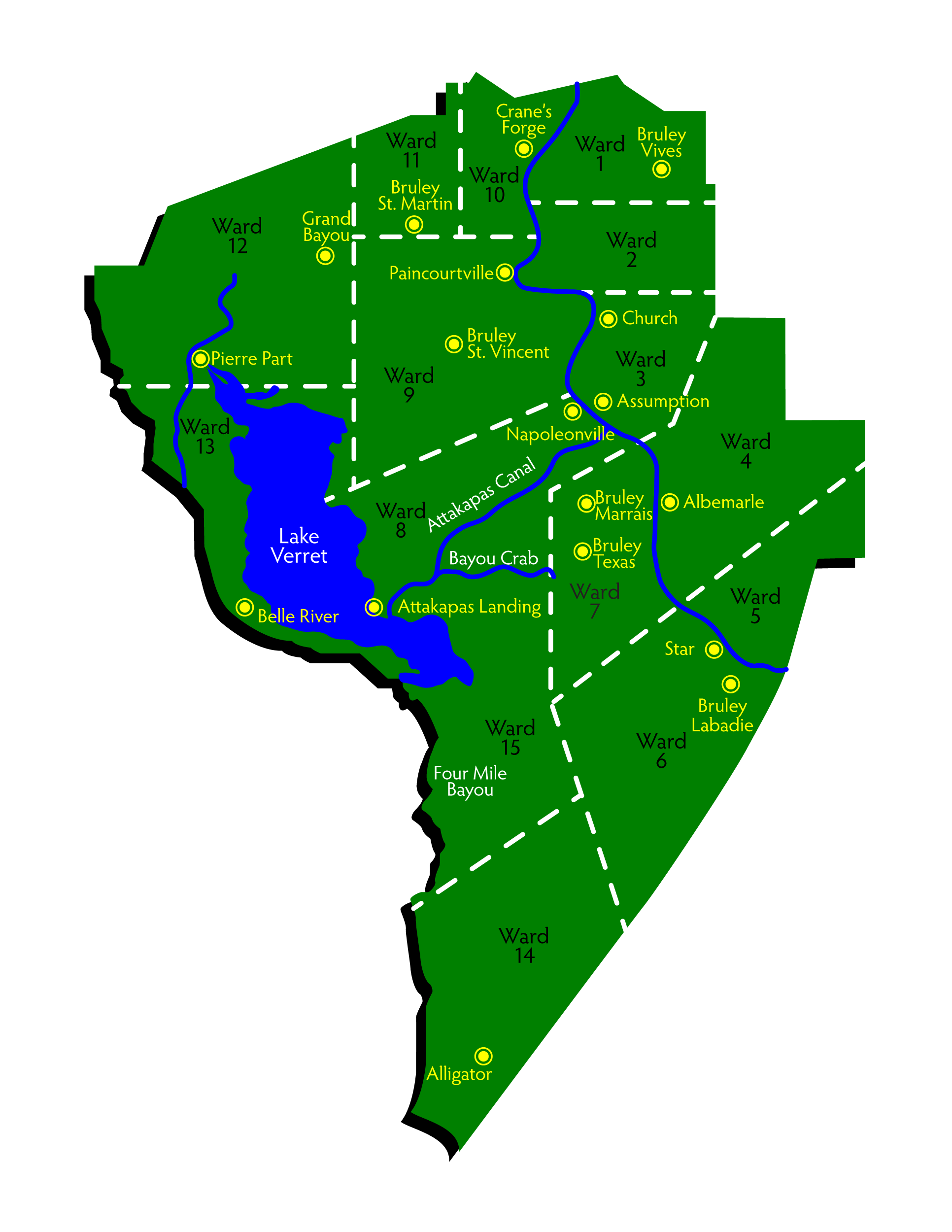
The research for this map was done by Kenneth Toups and was published in Audrey B. Westerman’s “1860 Census Assumption Parish, Louisiana“, Second Printing 1987.
A scanned image from that document was obtained by permission of Audrey B. Westerman.
The above map, based on Kenneth Toups map, was recreated by me.

Leave a reply